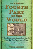
The fourth part of the world: the race to the ends of the Earth, and the epic story of the map that gave America its name
A chronicle of the early sixteenth-century creation of the Waldseemüller map offers insight into how monks, classicists, merchants, and other contributors from earlier periods shaped the map’s creation.
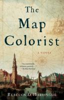
In 1660, Amsterdam is the trading and map-printing capital of the world. Anneke van Brug is one of the colorists paid to enhance black-and-white maps for a growing number of collectors. Her artistic talent brings her to the attention of the Blaeu printing house, and she begins to color for a rich merchant, Willem de Groot. But Anneke is not content to simply embellish the work of others; she longs to create maps of her own. Cartography, however, is the domain of men–so it is in secret that she borrows the notes her father made on a trip to Africa in 1642 and sets about designing a new map
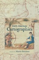
Maps were at the heart of cultural life in the Americas from before colonization to the formation of modern nation-states. The fourteen essays in Early American Cartographies examine indigenous and European peoples’ creation and use of maps to better represent and understand the world they inhabited.
Drawing from both current historical interpretations and new interdisciplinary perspectives, this collection provides diverse approaches to understanding the multilayered exchanges that went into creating cartographic knowledge in and about the Americas.
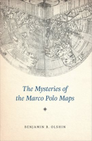
The Mysteries of the Marco Polo Maps
In the thirteenth century, Italian merchant and explorer Marco Polo traveled from Venice to the far reaches of Asia, a journey he chronicled in a narrative titled Il Milione, later known as The Travels of Marco Polo. While Polo’s writings would go on to inspire the likes of Christopher Columbus, scholars have long debated their veracity. Some have argued that Polo never even reached China-while others believe that he came as far as the Americas.
Now, there’s new evidence for this historical puzzle: a very curious collection of fourteen little-known maps and related documents said to have belonged to the family of Marco Polo himself.
Amerigo Vespucci: The Man Who Gave America Its Name
Keen to learn but short on time? Get to grips with the life of Amerigo Vespucci in next to no time with this concise guide.
50Minutes.com provides a clear and engaging analysis of the life and expeditions of Amerigo Vespucci. The 15th and 16th centuries were a key period for European naval exploration. While he was not the first man to set foot on American soil, the Florentine explorer Amerigo Vespucci was the first to realise that the landmass was a new continent, and made major contributions to navigation and cartography during the period.

Ptolemy’s Geography: An Annotated Translation of the Theoretical Chapters
Ptolemy’s Geography is the only book on cartography to have survived from the classical period and one of the most influential scientific works of all time. Written in the second century AD, for more than fifteen centuries it was the most detailed topography of Europe and Asia available and the best reference on how to gather data and draw maps. Ptolemy championed the use of astronomical observation and applied mathematics in determining geographical locations. But more importantly, he introduced the practice of writing down coordinates of latitude and longitude for every feature drawn on a world map, so that someone else possessing only the text of the Geography could reproduce Ptolemy’s map at any time, in whole or in part, at any scale.
The Geographic Revolution in Early America: Maps, Literacy, and National Identity
The rapid rise in popularity of maps and geography handbooks in the eighteenth century ushered in a new geographic literacy among nonelite Americans. In a pathbreaking and richly illustrated examination of this transformation, Martin Bruckner argues that geographic literacy as it was played out in popular literary genres–written, for example, by William Byrd, George Washington, Thomas Jefferson, Royall Tyler, Charles Brockden Brown, Meriwether Lewis, and William Clark–significantly influenced the formation of identity in America from the 1680s to the 1820s.

Sea Monsters: The Lore and Legacy of Olaus Magnus’s Marine Map
Olaus Magnus’s 1539 Carta Marina can be considered the major source of Renaissance sea monster iconography and lore. The map and its voluminous commentary, History of the Northern Peoples, established Olaus as the innovative historian of the sea serpent, the giant squid and sea monsters in general.
My name is Mike and I am a map addict. There, it’s said…’ Maps not only show the world, they help it turn. On an average day, we will consult some form of map approximately a dozen times, often without even noticing: checking the A-Z, the road atlas or the Sat Nav, scanning the tube or bus map, a quick Google online or hours wasted flying over a virtual Earth